The Rambla, before and after: what thirty years changed — and didn't
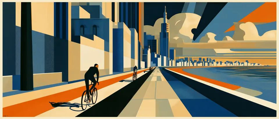
The Rambla looks eternal: the same granite wall, the same traffic alongside, the same light at dusk. And for almost all these years it was — it changed little and slowly. Until 2024, when, on a single stretch, the city did something it hadn't dared to do in ninety years: it took a lane away from the car. Here's what changed, what didn't, and what was there long before any of it.
There's a trap in the Rambla, and it's its permanence. The wall, the river, the fishermen, the people who come out to walk when the sun goes down: everything seems to have been there forever and for always. That stillness is part of its charm, but it also hides a history of change — some of it slow, almost invisible, and one piece of it recent and deliberate. This isn't nostalgia. Hold the archive's frames up against the Rambla you can ride today and you get a measurement — of how far the city's mind has moved on the question of who the waterfront belongs to.
The change that took ninety years. For almost all of the twentieth century, the Rambla was two things at once: a promenade and a motorway. People walked along the wall; cars ran along the carriageway, fast. On the Rambla Sur stretch the limit was 75 kilometres an hour, in the middle of the city, right beside where pedestrians crossed. In September 2024 that broke: the city government dropped the speed to 45 and 60 km/h and, along 4.7 kilometres between the Escollera Sarandí and the fishing clubs, installed a bike lane on the carriageway itself. The work wasn't the same along the whole run. On the first stretch, between the Escollera and Carlos María Morales, a lane that had belonged to the car became the bike's — a first for the Rambla. East of there the city took a different route, shifting the central median so the new lane could fit without taking one from traffic. Not a minor gesture; worth not overstating it either, since it covers 4.7 of the Rambla's 22 kilometres. The eastern end — Pocitos, Buceo, Malvín, Carrasco — is still, as it was thirty years ago, a fast road with no lane for the bike.
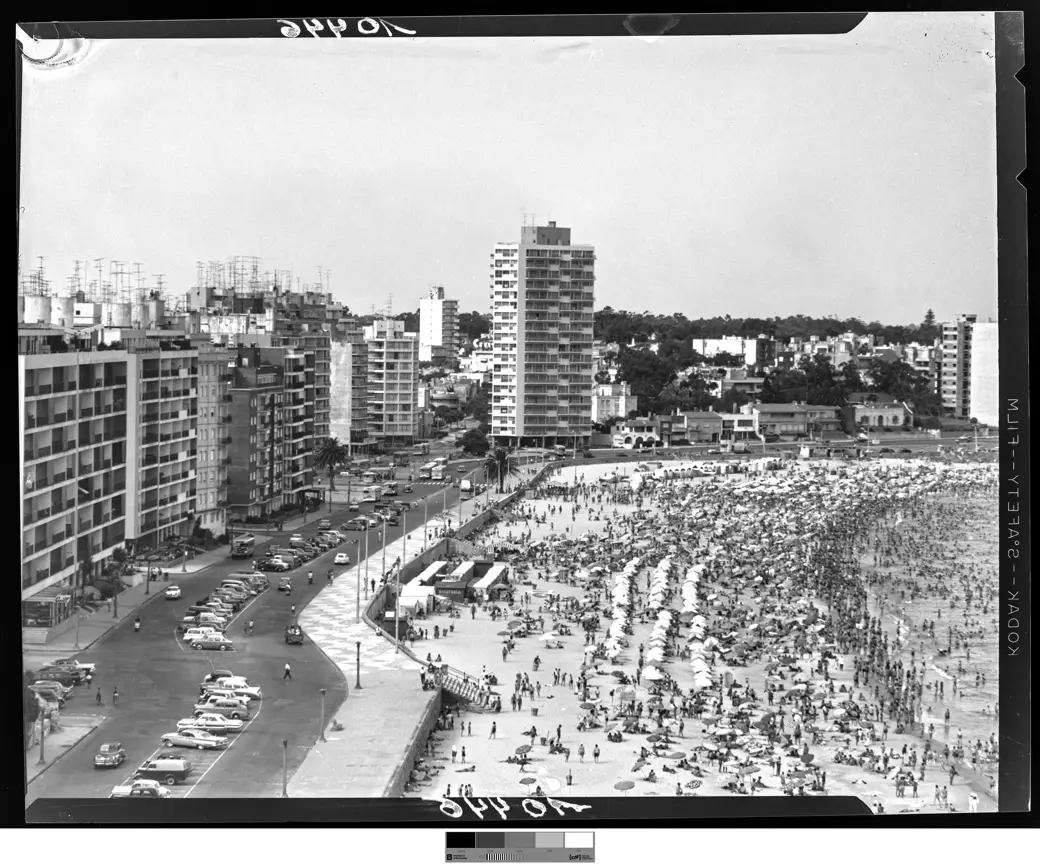
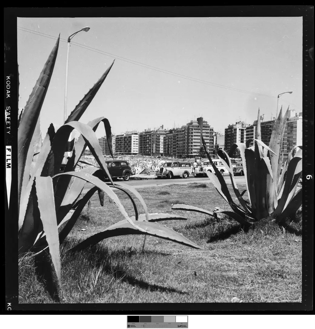
What couldn't be touched. Here's a detail that says a lot. The wall and pavement of the Rambla Sur are pink granite, raised between 1926 and 1935, and a Monumento Histórico Cultural since 1986 — a formal heritage designation. The bike lane left the stone untouched: it runs along the asphalt carriageway, and along the Rambla Sur stretch it uses parked cars as the barrier between bike and traffic. It's the best summary of the whole transformation: the city changed the Rambla's use without touching its stone. The body of granite is exactly the one from ninety years ago; what moved was the idea of who the lane beside it is for.
What disappeared. Some things did go. The 75 km/h limit, to begin with. The parking strip that ran alongside the carriageway wasn't eliminated, but it was shifted: along the Rambla Sur the parked cars now act as a barrier between the bike lane and the traffic, so the row of cars that used to be an obstacle is, in part, a protection. Further east, where there's no such row, paint is all that separates them. Further back in time, bigger things vanished: in 2014 the CH-20 housing complex, "El Palomar," that loomed over the Rambla Sur was demolished. And if you look much further back, the Rambla Sur is itself a disappearance: it was built by filling in two beaches — Patricios and Santa Ana — and demolishing the poor waterfront barrios behind them. The promenade that today looks like nature is, in fact, one of the largest acts of erasure in the city's history.
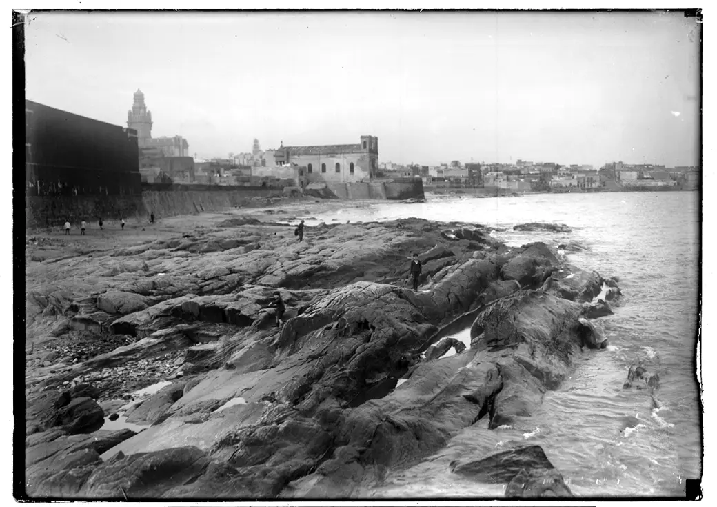
What stayed the same. And yet almost everything you look at is still where it was. The granite wall, the three terraces leaning out over the river, the fifty-metre width of the promenade, the fishing clubs, the habit of going out to walk at dusk: none of that changed. Nor did the bulk of the route, and it's worth remembering: toward the east — Pocitos, Buceo, Malvín, Carrasco — there are almost fifteen kilometres still with no infrastructure for the bike. The 2024 transformation was real, but it was local. Today's Rambla looks an awful lot like the one from thirty years ago — and, on one stretch, like nothing like it.
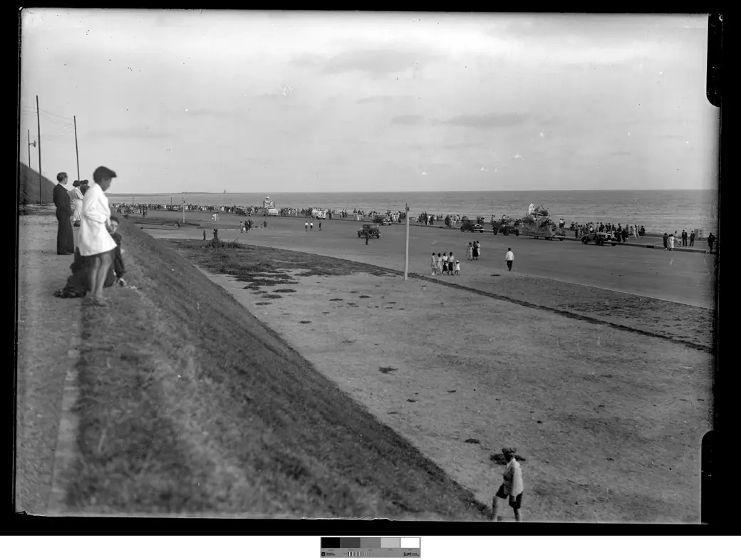
What the comparison teaches. That's why the Rambla's before-and-after isn't the story of a city that turned itself around, like those European streets that went from car to bike overnight. It's something smaller and more honest: a strip four and a half kilometres long where, after almost a century, the city decided the car should give a little. The stone didn't move. The people walking didn't either. What moved, on that stretch, was who has priority. No archive holds that change yet. One decision, one lane — and for now, the only way to see the after is to go ride it.
- Speed and bike lane — IM speed-limits release (75 → 45/60 km/h) + the bike-lane inauguration release (4.7 km, 21 Sep 2024). Accessed 27 · JUN · 2026
- Reconfigured parking — parking wasn't removed but rearranged, with parked cars serving as the buffer along the Rambla Sur stretch: IM, “Nueva forma de estacionamiento en la rambla Sur” (April 2024). Accessed 27 · JUN · 2026
- Granite and heritage — declared Monumento Histórico Cultural in 1986 under Resolución 584/986 (IMPO). Accessed 27 · JUN · 2026
- CH-20 “El Palomar” demolition (2014) — CdF, demolition photo series (Carlos Contrera/CdF). Accessed 27 · JUN · 2026
- The filled-in beaches — CdF, exhibition “Construcción de la Rambla Sur (1923–1935)” (Patricios + Santa Ana landfilled; arrabales demolished). Accessed 27 · JUN · 2026
- Total length / eastern section — Wikipedia, “Rambla de Montevideo” + the city’s Bicicircuito survey (~22 km total; change on 4.7 km; east ~14.5 km still no infra). Accessed 27 · JUN · 2026
- Historical photographs — Centro de Fotografía de Montevideo (CdF), fichas 18706FMHGE, 18646FMHGE, 10446FMHGE and 11316FMHGE, Fondo Municipal Histórico, public domain (CC0). Accessed 27 · JUL · 2026
Notes: the 2024 transformation is localised to 4.7 km of ~22 km; the bulk of the route didn't change. The Rambla Sur parking was reorganized, not eliminated.