The rambla
A promenade of more than 22 kilometres traces Montevideo's riverfront — part protected bike lane, part shared road.

About this section
Everything about riding the rambla starts on this page.
Arrive in Montevideo by ship, plane or bus and sooner or later you end up on the rambla, the city's edge along the Río de la Plata, Capurro to Carrasco. Locals treat it as a park, a running track, a fishing spot and a place to drink mate while the sun goes down. In May 2020 the city began closing the southern lane to motor traffic on Sundays, ten in the morning to six, between the old town and Luis Alberto de Herrera; it started as a pandemic measure and became a Sunday habit. On a bicycle, it is the simplest possible way to read the whole city in one afternoon.
A word of honesty before you set off: the bike infrastructure covers roughly a third of the way. From the Escollera Sarandí, at the tip of the old town, to the Prefectura in Pocitos you have about 7.7 kilometres with a lane of your own — 4.7 of carriageway cycleway along the Rambla Sur, opened in September 2024, where on the first stretch a row of parked cars is the barrier rather than bollards, plus some three kilometres of older pavement path from Parque Rodó to Pocitos. Past the Prefectura — Buceo, Malvín, Punta Gorda, Carrasco, around 14.5 kilometres — you ride on the road among cars. At the rambla's unhurried pace most visitors find it manageable and locals barely think about it, but plan for it, and read where you can relax and where to pay attention first. No extension east is on the city's published list; the current administration's priorities run inland, from the Centro to the Cerro.
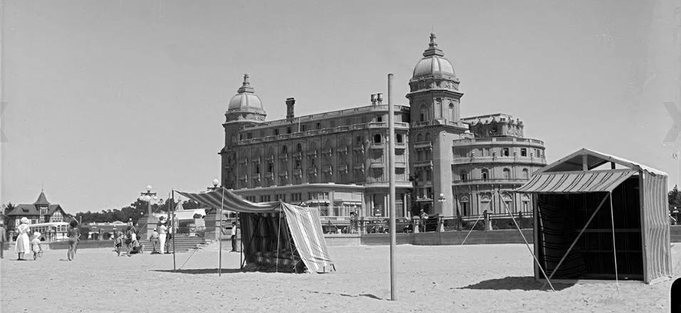
The rambla took three decades to build, neighbourhood by neighbourhood: Parque Rodó around 1906, Pocitos in 1910, Carrasco in 1912, Malvín and Punta Gorda in 1918, Buceo in 1925. The last and largest piece was the Rambla Sur, engineer Juan P. Fabini's project — begun in 1923, wrecked by a storm that same July, redesigned and restarted in 1925, inaugurated in December 1935. Four kilometres long and fifty metres wide, it was reclaimed from the river on 800,000 square metres of sand fill; 929 properties were expropriated and two beaches disappeared under it. The pink granite of its parapet came from quarries at La Paz and is why the southern stretch still looks the way it does. What thirty years changed — and didn't puts old photographs beside the same spots today.
The whole promenade has been a designated Historic-Cultural Monument since 1986, and Uruguay put it forward for UNESCO's tentative list in 2010; no inscription has followed. That status is not decorative. In early 2024 the heritage commission had approved only a temporary six-month path on the Rambla Sur, marked with reversible fixtures; when the city built the permanent cycleway instead, the commission asked for the work to stop because no such project had crossed its desk. The lane stayed. The numbers beside Buenos Aires and Santiago put that argument in context, and the wider picture of a city assembling a network in pieces shows where the rambla fits in it.
This section gathers everything on this site that touches the rambla — riding guides, the cycleways along it, stops worth planning around, and the civic arguments over what the waterfront should become next. If it is your first time, begin with the riding guide — port to Pocitos along the open river. Ester Zaha's Coastal Utopias picks up where the city ends, Carrasco to Neptunia, a half-day ride along the same shore.