Place
Montevideo by bike
The rambla runs more than 22 km along the Río de la Plata. Part of it has a protected cycle lane; east of Pocitos it does not, and that difference shapes the ride.
Montevideo is arranged along the Río de la Plata, and the simplest way to hold the city in your head is to know whether you are near the water or heading toward it. The rambla — the waterfront road, walk and seawall along the city's southern edge — runs more than 22 km, and has been protected since 1986 under the designation Monumento Histórico Cultural — a formal heritage protection. Most of the neighbourhoods a visitor stays in meet it somewhere.
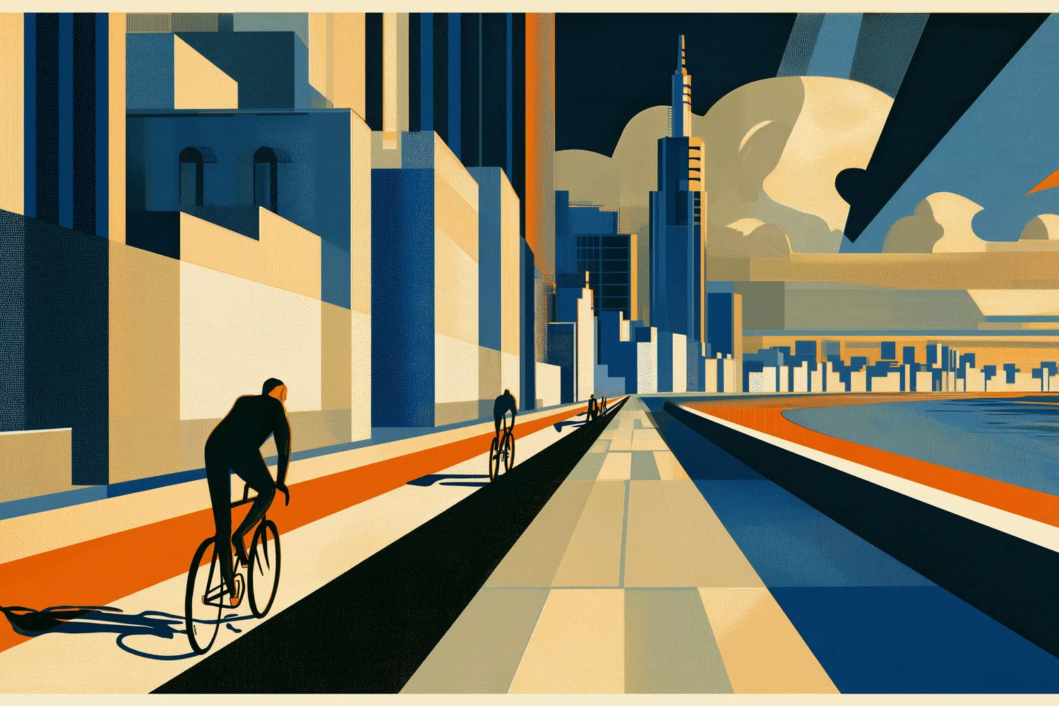
That does not make the rambla a bike route from end to end. A protected cycle lane — a ciclovía, physically separated from moving traffic — covers about 7.7 km of it, between Sarandí and the Prefectura de Pocitos; most of that is the Rambla Sur lane, 4.7 km opened in September 2024 and built on what the city calls the modelo Quijano, where the row of parked cars sits between the bikes and the traffic and does the work of a kerb. At the Prefectura it ends. From there east, through Buceo, Malvín, Punta Gorda and Carrasco, there is no continuous separated infrastructure of any kind: you ride on the carriageway, in the traffic lane, for the whole eastern stretch of the waterfront. The protected stretch and the unprotected stretch are the same road and two different rides, and the change happens at one point you can name in advance.
Away from the coast, four kilometres run along 18 de Julio, the city's main avenue — bidirectional, open since December 2023. Ciudad Vieja has no dedicated lanes at all; the entire quarter is instead a 30 km/h zone, which is a different answer to the same question. As for the total, the city government reported 77.3 km of cycling infrastructure as of September 2024 — the last published figure, not a description of what is on the ground today.
The shape you ride through is inherited. Trams laid out the lines that 18 de Julio and Agraciada still follow; the last of them stopped running in the late 1950s, and the avenues kept the form the trams gave them. The Rambla Sur is inherited in a heavier sense: it is made ground, built out into the river between 1923 and 1935 to Fabini's design, so a good part of the southern waterfront is land that did not exist a century ago. Building the Rambla Sur razed two arrabales — Playa Santa Ana and Patricios, poor neighbourhoods on the riverbank. The ground you ride there exists because those neighbourhoods do not.
There is no public bike-share in Montevideo: the city system, Movete, closed in 2019 and nothing has replaced it, so there is no station to unlock a bike from and no card or app that will produce one. What does exist is a private rental market, and it functions — renting from a shop is how you get hold of a bike here. Where you ride it is not a matter of preference: the carriageway or the cycle lane, never the sidewalk.
The pages below take these pieces one at a time — the lanes and how they came to be built, what the eastern rambla is actually like to ride, and the parts of the city that never appear in a network figure. Start with whichever of them you were going to have to find out the hard way.