Place
Rocha by bike
The busiest touring route in the country, toward Brazil.
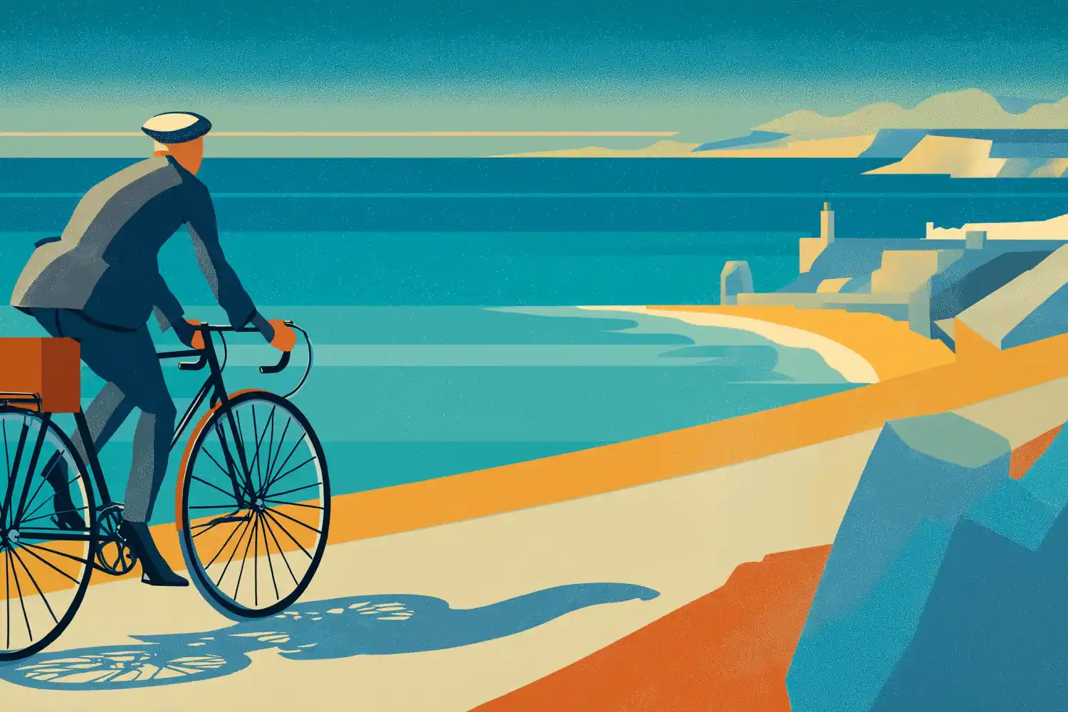
Uruguay's Atlantic corridor — Montevideo to the Brazilian border through Rocha — is the busiest cycle-touring route in the country, and for riders coming south it starts at Chuy. Crossing is as simple as it gets: you ride straight through on the highway, where the migration post sits just outside town — Avenida Brasil is the line where the twin towns meet. From Montevideo it is about 326 kilometres by the direct road, and buses run from Tres Cruces to both Rocha and Chuy.
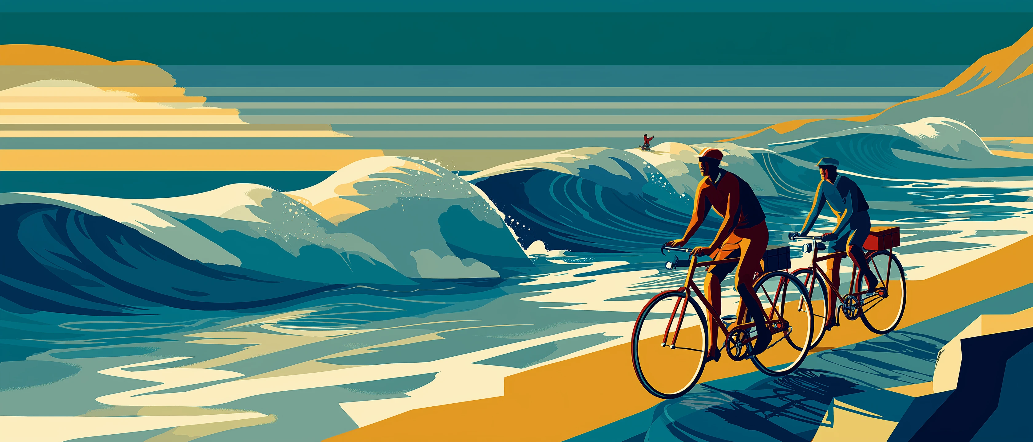
Two roads carry the route. Ruta 9 is the spine — some 220 kilometres between Punta del Este and the border — with the beach towns on spur roads toward the sea, not on the highway itself: La Paloma, La Pedrera, Punta del Diablo. Ruta 10 is the coastal alternative, hugging the shore with stretches still unpaved. This is remote riding by Uruguayan standards: shops can sit up to fifty kilometres apart on the Rocha stretch, cash counts for more than cards, and most of the coast runs on a summer season — from April to November much of the lodging closes. The year-round exception is the army-run campground at Santa Teresa, one of Uruguay's best-known, next to the 18th-century fortress.
Cabo Polonio plays by its own rules: a national park since 2009, no cars, no power grid or running water, and bikes are banned from the dune crossing — you leave yours at the Ruta 10 entrance, where there is covered parking, and continue on foot or in the 4×4 trucks. Summer stays mild here: along the southeast Atlantic coast — Rocha and Maldonado alike — the warmest month averages around 22 degrees. Each piece gets its own page: the full coast ride, the crossing from Brazil, and the community directory.